
To understand Karachi, one must first learn how to read it. Not only through its roads, neighbourhoods, and coastline, but through the maps, records, photographs, and personal histories that reveal how the city has been imagined, governed, divided, and remembered over time.
Maps have long played a decisive role in shaping nations, territories, and collective histories. They have determined borders, informed urban planning, guided military strategies, and influenced how people understand their relationship to place. Archives perform a similarly important function. They preserve records of events, communities, and lived experiences while shaping what societies choose to remember or forget. For a city like Karachi, both maps and archives become particularly significant tools.
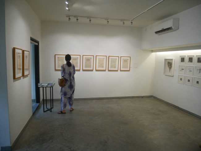
Karachi is a city that resists easy definition. Over the past eight decades, it has expanded at a relentless pace, absorbing waves of migration, political upheaval, economic transformation, and demographic change. It is a city marked by fracture and reinvention, by violence and resilience. Within its sprawling urban landscape coexist communities with vastly different histories and identities: Muhajirs, Sindhis, Baloch, Pashtuns, Parsis, Goans, Sheedis, Bohris, Hindus, and many others. The late urban planner and activist Parveen Rehman repeatedly emphasised the importance of mapping and documentation in understanding Karachi’s complexities. In a city that is constantly shifting, maps and archives provide points of orientation. They allow us to trace what has disappeared, what has survived, and what continues to shape everyday life. Art, too, plays an important role in this process. It functions as a form of memory, resistance, and reflection, offering alternative ways of understanding a city often reduced to statistics, headlines, and policy reports.Spread across both Koel Gallery and Canvas Gallery, Karachi Cartographies draws from the collection of Dr. Furqan Ahmed and brings together historical maps, archival documents, photographs, property records, and contemporary artworks.
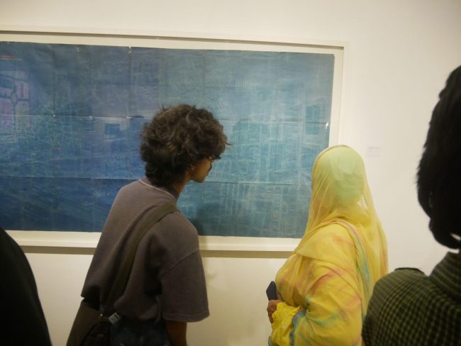
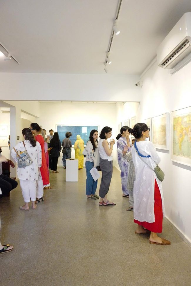
The exhibition extends beyond the two galleries through a reading room and book pop-up at Darham Marham, a relatively new creative space in Karachi, as well as a programme of dialogue, video works, and new media presentations at the Indus Valley School of Art and Architecture. Accompanied by a substantial catalogue and a children’s book designed by Sophia Balagamwala, the project expands its reach beyond conventional exhibition formats and invites engagement from a wide range of audiences. The exhibition does not treat archives as static repositories of information. Instead, it approaches them as living materials capable of generating new meanings and conversations. Historical records are placed in dialogue with artistic responses, creating a framework through which Karachi’s layered histories can be revisited and reconsidered.
One of the exhibition’s strengths lies in its understanding of mapping as a political act rather than a neutral one. Maps often appear objective, presenting territories and boundaries as fixed realities. Yet every map is shaped by decisions regarding what is included, excluded, emphasised, or obscured.
The exhibition repeatedly returns to this idea through artworks that challenge official narratives and offer alternative ways of seeing the city. Here, mapping becomes a method of questioning authority rather than reinforcing it.The exhibition also foregrounds the profound demographic transformation that reshaped Karachi following Partition. Archival materials remind viewers that before 1947 the city had a remarkably diverse population, with Hindus constituting a slight majority and Muslims forming a substantial minority. Within a few years, this demographic composition changed dramatically due to the migration of Muslims from India and the departure of large numbers of Hindus and Sikhs. This historical rupture fundamentally altered Karachi’s social and cultural fabric. The city that emerged after Partition carried both the promise of a new beginning and the trauma of displacement.
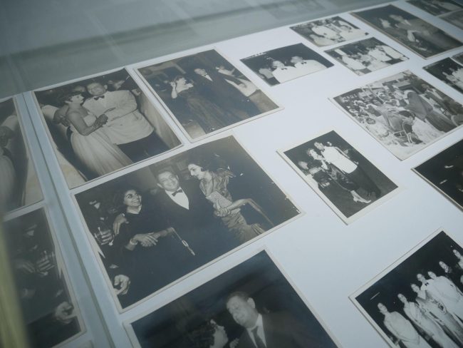
Several works in the exhibition address the gradual disappearance of minority communities whose contributions once formed an integral part of Karachi’s identity. Through personal archives, family photographs, and community records, artists such as Veera Rustomji and Jovita Alvares reconstruct histories that often remain absent from official accounts. Their works function as acts of preservation, resisting the slow erosion of memory that accompanies migration, demographic change, and institutional neglect. In doing so, they reveal the archive not simply as a record of the past but as a means of safeguarding fragile cultural histories.
If the first half of the exhibition examines memory and historical transformation, another section focuses on the violence that shaped Karachi during the late twentieth century. The political and ethnic conflicts of the 1980s and 1990s left deep scars on the city. Turf wars, targeted killings, state operations, and sectarian tensions transformed everyday life, producing an atmosphere of uncertainty and fear. Rather than documenting this violence directly, several artists explore its psychological and spatial consequences.
Seher Naveed’s Safe Map of Karachi remains one of the most compelling works in the exhibition. Using published crime data, the artist attempted to identify areas of safety within the city by plotting the inverse of reported danger zones. The result is both absurd and revealing. The only truly safe areas appear not within Karachi itself but in the waters of the Arabian Sea. The work exposes the extent to which violence had permeated urban life, rendering the very concept of safety unattainable. It is a work grounded in data and logic, yet its conclusion reads like a dark satire of the city.
Questions of security and surveillance emerge elsewhere through Seema Nusrat’s exploration of defensive urban architecture. Her work examines how ordinary objects and materials become entangled with systems of violence. The gunnysack, associated with the infamous phrase bori-band laash, becomes a symbol of both concealment and terror. Similarly, the barriers, checkpoints, and concrete fortifications that increasingly define Karachi’s streetscape are treated not merely as physical structures but as instruments that shape public behaviour and perception. Even when unmanned, such structures communicate the possibility of danger.
Roohi Ahmed approaches these concerns from a more intimate perspective. Her embroidered maps trace erratic routes through the city, reflecting the calculations citizens routinely make while navigating road closures, protests, security alerts, and unpredictable conditions. These maps do not record geography in the conventional sense. Instead, they map anxiety, caution, and adaptation. They reveal how the experience of movement in Karachi is often shaped as much by perceived threats as by physical distance.
Environmental transformation forms another important strand within the exhibition. Through their investigations of Karachi’s coastline, Fazal Rizvi and Tariq Alexander Qaiser document the destruction of ecological systems that once defined the city’s relationship with the sea. Their works draw attention to unchecked development, land reclamation projects, and the loss of mangrove forests. These interventions are presented not simply as environmental concerns but as questions of memory and belonging. As landscapes disappear, so too do the histories, livelihoods, and relationships attached to them.Yet despite its engagement with trauma, loss, and erasure, Karachi Cartographies does not succumb to pessimism. Ghazala Kosar’s Road to Work offers a different vision of the city. Rather than depicting Shah Faisal Colony as it currently exists, the artist imagines it transformed through greenery, public space, and care. The work proposes an alternative future while remaining rooted in everyday reality. It reminds viewers that mapping can also be an act of aspiration.
What ultimately distinguishes Karachi Cartographies is its refusal to present Karachi through a singular narrative. Instead, the exhibition acknowledges contradiction as a defining characteristic of the city. Karachi emerges as a site of displacement and belonging, violence and resilience, forgetting and remembrance. The archival materials provide historical depth while the artworks introduce subjective experiences and alternative interpretations. Together, they reveal a city that cannot be understood through statistics, master plans, or official histories alone.
By bringing archives into conversation with contemporary art, the exhibition demonstrates that both are engaged in a similar task: making sense of a city that is perpetually changing. In Karachi, where histories are frequently overwritten and urban transformation often occurs at breakneck speed, the act of remembering becomes increasingly urgent. Karachi Cartographies reminds us that maps do more than chart territory and archives do more than preserve documents. They shape how cities are imagined, understood, and contested. In doing so, they offer a way of navigating Karachi’s past while reflecting on its uncertain future.
Beyond its exploration of Karachi’s history, violence, ecology, and shifting demographics, Karachi Cartographies succeeds because it makes archival material accessible to a wider audience. Many of the maps, documents, property records, photographs, and historical materials on display would otherwise remain confined to private collections and storage spaces, available only to specialists, researchers, or collectors. By bringing them into public view and placing them in conversation with contemporary art, the exhibition creates new points of entry into the city’s past.This dialogue between archive and artwork is one of the exhibition’s most significant achievements.
The archival materials provide historical evidence while the artworks offer interpretation, critique, and reflection. Together they demonstrate that history is not a fixed collection of facts but an ongoing process of understanding and re-evaluation.
The exhibition encourages viewers to look beyond familiar narratives and consider how political decisions, migration, violence, urban development, and environmental change continue to shape the city they inhabit today.
Retrospective exhibitions of this nature remain particularly important within Pakistan’s cultural landscape. They provide opportunities for learning, research, and public engagement while exposing audiences to works and materials that may otherwise remain overlooked. They also highlight the role collectors, researchers, artists, and archivists play in preserving cultural memory. At a time when cities are changing rapidly and historical records are often neglected, such exhibitions perform an important civic function.Ultimately, Karachi Cartographies argues that understanding the future requires an understanding of the past. The exhibition reminds us that cities are built not only through roads, buildings, and infrastructure, but also through memories, migrations, conflicts, aspirations, and stories. To understand Karachi as it exists today, one must first understand the forces that shaped it. In bringing together maps, archives, and artistic responses, the exhibition offers precisely that opportunity.